| 24th November 2003 |
 |
 |
 |
| Written by Mike Manning |
| Sunday, 29 March 2009 20:07 |
Storm Chase 24th November, 2003Today was showing a very strong potential with strong wind shear, dry upper levels and a very cold atmosphere; -14 to -16 @ 500, -26 to -28 @ 400 and -34 to -36 @ 300. When I first took a look outside, I knew straight away that today had potential. There were the typical "coldy" Cu's everywhere and severe thunderstorm advices were out early.
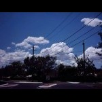
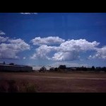
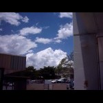
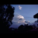
As I was going to tafe, I noticed some flat based Cu's out towards the east. These built up quite quickly but didn't last very long. As I arrived at the bus stop, there were TCu's going up to my south-west and east. I stopped and took a few pics.
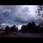
By 1.00pm, A severe hail storm was making its way through the Gold Coast Hinterland and I quickly finished my work and headed off. While walking back up to the bus stop, I noticed some very strong looking towers and one in particular in front of my with a dark rfb.
This one passed over with a few very cold drops and an icy outflow wind. Tops of the TCu's now were glaciating like crazy! Once I arrived back home, I did a quick check on the radar and saw another cell building up just to the west of Beaudesert.
The north-west flanking line on this one kept building up and the whole structure appeared to be stationary for quite some time. This moved north-east before quickly weakening. This didn't matter it was weakening because it was now spawning more storms in front of it and by 6:50, a very icy wind had developed and was quite strong. Big fat drops of rain started to fall along with a few very small half melted hail stones. Unfortunately the system was starting to weaken once again. I then realised that this was a pulse type severe storm and had begun to re-intensify again just as it passed over me.
Many suburbs started to experience hail once again and by now there were CC's every few seconds. By 7:30pm the temperature had dropped to 18 degrees with only a few spots of rain to report. Coastal areas such as Manly and Wynnum experienced larger hailstones > 1.5cm. By 8:30pm all activity had moved offshore and no more storms would develop.
|
| Last Updated on Sunday, 29 March 2009 22:46 |
