| 8th January 2004 |
 |
 |
 |
| Written by Mike Manning |
| Sunday, 29 March 2009 20:07 |
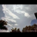
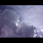
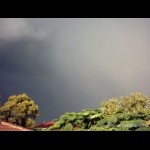
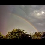
Storm Chase 8th January, 2004This day was shaping up to be very nice with 2400 CAPE, LI's of -4, Shear was 20-25kn @ 850, 25-30kn @ 700, 30-40kn @ 500 and 40-50kn @ 300. The temps were a bit warm with 21-24 @ 850, 8-10 @ 700, -4 @ 500 and -31 @ 300. Minimums that night were in the mid 20's throughout most of SE Qld so it was a pretty sleepless night. By 10am, temps were pushing the mid 30's along the coast and there were a few Cu going up to the north of Brisbane. The cap broke just after mid day out along the downs with some big TCu going up along the ranges and by 1pm the temperature was pushing into the high 30's/low 40's in the SE. By 1:30, a very nice storm was to my NW with a solid anvil streaming ove me and there was more explosive development going up to the west of me. By 3:40pm, a stw was issued for damaging winds to affect the Brisbane area. I went to my grandparents place to escape the heat and at 4:30pm, the storm passed over me producing very large drops of rain and it cooled the temperature down to the low 30's. The back end of the storm was quite spectacular with a rainbow in the rain curtain.
More pictures can be found here.
|
| Last Updated on Monday, 30 March 2009 22:47 |


