| 26th January 2004 |
 |
 |
 |
| Written by Mike Manning |
| Sunday, 29 March 2009 20:07 |
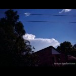
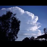
Storm Chase 26th January, 2004Today was a classic setup with the dryline pushing close to the coast, 3000 CAPE, -4.6 LI's, drying out in the mid levels and although the wind shear wasn't as strong as previous days, it didn't stop a supercell from forming at Beaudesert! Just after 12pm, the cap broke and massive TCu went up to the south of me and by 3:30pm, a storm was creeping over the border ranges towards Beaudesert. From my angle, it didn't really look too impressive however it exhibited some very nice backshearing and an overshooting top at times. at about 4:30pm, the storm took off and had explosive updrafts on it which punched right up into the atmosphere. By about 5pm, the storm looked visually photogenic but was beginning to weaken quite a lot. Anthony Cornelius who was out chasing this day scored some very nice photos of the SE side of the supercell. His report can be found here. More pictures can be found here.
|
| Last Updated on Monday, 30 March 2009 22:46 |

