| 22nd February 2004 |
 |
 |
 |
| Written by Mike Manning |
| Sunday, 29 March 2009 20:07 |
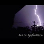
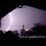
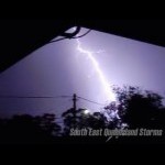
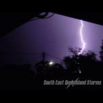
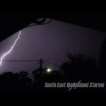
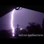
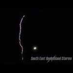
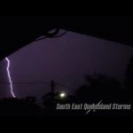
Storm Chase 22nd February, 2004Well, what a day this one was turning out to be - temperatures soared into the 40's in SE QLD breaking records like nothing. Archerfield reached 41.7 degrees which broke the February record. Today was looking like an ok storm day with nice instability and nice moisture but lack of wind shear and very warm temperatures. CAPE was up to 2400 with -4 LI's across most of Brisbane. Shear was very poor with only 10-15 knotts of shear the entire way up. From late afternoon, storms started firing across the eastern downs and NE NSW. Some of the cells appeared very solid with some explosive updrafts in them but unfortunately they didnt last too long. A few very nice cells started developing out west with nice overshoots and backsheared anvils and slowly moved SE. Not long after this a very solid line of storms started developing and moved SE again. Beaudesert copped some very heavy rainfall and plenty of lightning. Another line of storms build up about half an hour later to give a severe storm line for the Brisbane area. This line produced the best lightning show I had ever seen and produced so many FLANGS (flash, then instant bang) it was incredible. I got out the digi and started filming and captured some incredible lightning shots. Some of the lightning was <500 metres away and gave cannon boom shots.
|
| Last Updated on Monday, 30 March 2009 22:45 |
