| 20th September 2004 |
 |
 |
 |
| Written by Mike Manning |
| Sunday, 29 March 2009 20:07 |
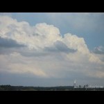
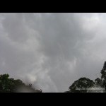
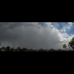
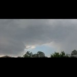
Storm Chase 20th September, 2004I had to go out to Sunnybank on this morning to drop back a DVD. There was some nice convection already happening at around mid-day and over the border in NE NSW, storms were firing away. I headed up to the Sunnybank carpark rooftop and waited around there for around half an hour watching things develop. It wasn't long before a nice cell became organised to the south of me around Beaudesert area and started heading ENE. At 1:30, I headed towards Acacia Ridge and pulled into Paradise Road exit to get a better lookout of the situation down to the south of me. I didn't realise it at the time but a new storm was building up almost directly overhead. At around 2pm, I heard the first rumble of thunder out of the now exploding cell going up above me and it wasn't long before it put out a close cg. By 2:10pm, large drops of rain began to fall and I headed to Archerfield Airport to get in front of the storm. As I was heading up towards the airport, the skies opened up and massive drops of rain hammered down. I Arrived at the airport and it started to hail. This was not surprising considering the cold upper level temps on this day of around -16 degrees at 500. I chased the storm all the way to Moorooka slowing down at times because of whiteout conditions. As the storm neared the coast, it picked up speed and intensity and headed offshore. Not a bad days chase this day however the hail was not too widespread and only pea sized at most. More pictures can be found here.
|
| Last Updated on Monday, 30 March 2009 21:41 |


