| 12th December 2004 |
 |
 |
 |
| Written by Mike Manning |
| Sunday, 29 March 2009 20:07 |
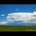
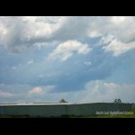
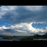
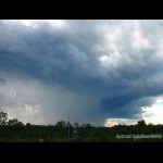
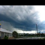
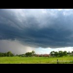
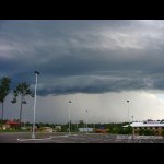
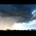
Storm Chase 12th December, 2004I woke up this morning to very sultry conditions and by 11am, the temperature was already pushing the 30's and the dp was up to 23. There were some very nice storms going up to the north of Brisbane and another one developed to the NW of me so I headed out to Archerfield Airport to get pics of it. To my surprise a wall cloud developed under the main updraft area of a developing TCu. The storms weakened quickly after mid-day when the dp dropped to around 18 degrees so I headed back home. Anthony came over my place and we waited for some development to get going after this mornings nice storms to the north of Bris. There were some nice hardy updrafts to the west and south west of me but they didn't seem to last too long because of the dry air sitting just above the surface. We decided to head out about 2:30 in persuit of a small storm that had just developed near Harrisville so we decided to head along the Logan Motorway. Fortunately for us they were doing roadworks and had one lane blocked off near the enterance to the Pacific Highway which made an excellent storm vantage point There were very strong updrafts going up to our south, east and on the storm to our west which was now near Greenbank area. It didn't take long for the storm west of us to take off and produce a very nice thick rain curtain and to develop a small inflow band. We decided to shoot north of the storm and head out towards the coast around Wellington Point area. We stopped at Springwood for a few quick photos and then continued north. Once again, we stopped north of the storm for more pics which was becoming more organised. There was a nice rfb to the western edge of it and it had a few nice hail shafts to the western edge of the precip curtain. Our last stop to get some pics were at Westfield shopping center. There was a small gust front on the storm and some light greenage above it. After this, we headed towards Wellington Point where the storm weakened. A new cell went up near Greenbank and was tracking ENE so we decided to wait around and see what it did. It was only a small cell but it had some very nice base features on it for a while before it decayed. More pictures can be found here.
|
| Last Updated on Monday, 30 March 2009 22:45 |
