| 20th December 2004 |
 |
 |
 |
| Written by Mike Manning |
| Sunday, 29 March 2009 20:07 |
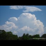
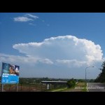
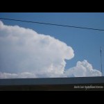
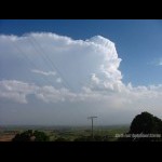
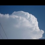
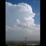
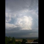
Storm Chase 20th December, 2004Today started off quite an interesting day with a strong cap at 850 which was pushing 20 degrees so it was going to take a lot of heating or a strong trigger to get anything developing but if anything was to develop, it was gonna go up with a bang. The sounding showed the very strong cap from 850 right through to 800. Shear was not too bad either and although the mid level and upper level temps were warm, it was still looking nice. Just after mid day when the SE change came through, cj's started to develop along the western ranges and it didn't take long for them to break through the cap. I think that the SE'ly change helped to weaken the very strong cap. Temperatures by this time were pushing the 30's and even into the mid 30's out at Amberley. I had my friend Lee from Newcastle staying up here so we headed to Archerfield Airport for a look and we saw a very nice cell developing to the south of us. After a bit of time lapse, we headed out to the pacific highway towards Beenleigh to the now monsterous storm out near Rathdowney. The updrafts were very crisp and the storm exhibited a very strong looking anvil and backshear. As we neared the Logan motorway exit, the storm looked to be a little weaker so we decided to head west towards Ipswich to the new line of cells developing. A turkey tower went up just to the south west of us but quickly died off. As we approached the Amberley area, there was a small cell just to the west of us with a nice rfb. We found ourselves a nice lookout just south of Marburg and watched cells take off all around us and one practically developed right over our heads and gave some nice base features and a few cg's before weakening. It wasn't until 4pm that we saw nuke updrafts directly to the south of us which was the Boonah storm forming. It quickly built up its height in no time and it too exhibited very strong updrafts and a sharp anvil. It seemed to just sit in the one area for about half an hour before moving off to the SE towards the Gold Coast area. While I was doing panoramas, I didn't realise at the time that I actually captured a daytime CA lightning shot and I was surprised to see it nicely coming out the side of the storm on the photo that I took. We called it a day just before dark as all the activity had weakened but we were quite happy with the pictures we took. On the way back home, we were treated to a nice cg fest just to the west of Archerfield. We got home, ate dinner really quickly and then headed to Archerfield Airport for the cg fest but unfortunately as soon as we got to the Airport, it weakened and it just happened to be our luck that both our cameras were doing noise reduction when the last and only cg came out the back of the weakening storm and pulsed 5 or 6 times. More pictures can be found here.
Radar
|
| Last Updated on Monday, 30 March 2009 22:45 |
