| 23rd December 2004 |
 |
 |
 |
| Written by Mike Manning |
| Sunday, 29 March 2009 20:07 |
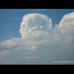
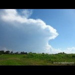
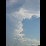
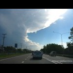
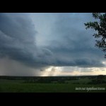
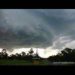
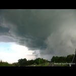
Storm Chase 23rd December, 2004The day started off with a few cj's along the western ranges and by mid-day the temps were into the low 30's with dewpoints in the low 20's along the coast and high teens further inland. The first storms of the day began on the southern border ranges and sat there for a while pulsing away. I could see the updrafts from my house so I kept an eye on things. At 3pm, I decided to head to Archerfield Airport to view the situation. There was a very nice storm going off just to the NW of Brisbane which was producing spectacular pileus and awesome updrafts. To the SW of me was the Rathdowney storm which didn't look anything too flash. It had a rather shabby anvil and the updrafts were nothing special. Just after 3:30, the storm began to take off with powerful updrafts building the NW flank of the storm which were pushing right up into the anvil. I flew back home to let mum know I was going to head to Ipswich and the radar showed a nice red core going just to the west of Amberley. I headed out along the Ipswich motorway on my way to Amberley and the structure was getting better by the minute with more powerful updrafts pushing into the anvil. By 4:10pm, the radar showed a characteristic hook echo and the storm looked very strong with a few supercellular characteristics such as a mid level inflow band and meso. I stopped just to the west of Ipswich to get some more photos and then continued onto Amberley. I headed past Amberley and continued towards Rosewood. As I was driving along the road to Rosewood, I could see the now very low rfb racing towards the NNW and I could see the hail shafts about 1km to the south of me. All of a sudden I saw dust go flying across a field to the left of me and the trees immediatelly bent over and I estimate wind gusts of up to 80km/hr were buffeting the car. A few small hail stones and big drops of rain hit the car so I sped up a bit because I knew what was in the core of that. I eventually made it to Rosewood where I pulled over and waited for the outflow winds to subside. The outflow winds were absolutely roaring through the area and I was pleased I was facing into the wind because the entire car was shaking. The outflow winds eventually subsided and I continued north towards Marburg for a better view point. By this time there were flangs coming down beside me on the side of the hill. I took some more pics of the back of the storm and I could clearly see the hail shafts and big boiling updrafts on the backend of the storm. More pictures can be found here.
|
| Last Updated on Monday, 30 March 2009 22:45 |
