| 27th December 2004 |
 |
 |
 |
| Written by Mike Manning |
| Sunday, 29 March 2009 20:07 |
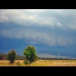
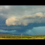
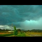
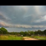
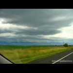
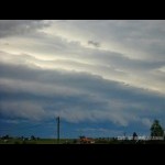
Storm Chase 27th December, 2004Today was looking like a nice setup with 2400 CAPE, -7 LI's, plenty of lower level moisture, a nice cap, dry slot from 600 to 300 and nice upper level shear. James Chambers came and picked me up at about 11am and we headed for Warwick. There was already an enormous amount of static present on the AM radio. There was some not too bad CJ's on the western and southern ranges. We arrived in Warwick just after 1pm and the AM radio by this time was just a constant noise with no gaps in between the strikes. We could just make out the top of an anvil to the south near Moree area however it looked quite weakish. We continued to push south past Warwick and into Stanthorpe. Just as we came over the bend it looked quite nice and dark to our south so we found a side street just to the south of Stanthorpe and took a few pictures. There was a nice solid anvil streaming overhead by now which would of been a good 100km long and I could see a bit of greenage at the top of the blackness. At about 3pm, things started to get interesting with some base features developing and a weak guster coming into view from the west of us. At 3:10pm, the guster was now clearly visible and was developing more as each minute passed. Directly to our south by this time was becoming quite green and there was a lot of low level scud developing along under the gust front. By 3:20, a very well defined gust front had developed to the south of us and there was very nice greenage. 2 minutes later, the outflow hit us and the temperature dropped from 29 degrees to around 20 degrees in no more than 40 seconds. The outflow was icy cold and was gusting to 45kn at times. I could barely hold the camera still because I was shaking from the cold but I continued to snap pics in awe as the gust front screamed in from the SW of us. A few nice cg's punched through the precip curtain and then all of a sudden cold rain hit. We hopped in the car because it was far too cold to withstand and the entire car was shaking from the outflow winds. We only experienced heavy rain and a few small bits of pea sized hail so we continued back north to get ahead of the storm once again. At 4:15, we stopped ahead of the storm again to get more pics of it re-developing to our west. We headed back to Warwick and went up to the lookout tower to get a better view to our south. It was becoming quite organised at this time with a large gust front starting to extend out to the west of us. At 5:20, the gust front was becoming quite well formed so we pulled into a side road just outside of Warwick to get some more pictures. The temperature here was a nice 29 degrees but sure enough, 2 minutes later the outflow winds hit once again and dropped the temperature to around 20 degrees within a matter of minutes. There were some very nice cg's dropping from just in front of the gust front so we decided to just sit there and wait it out. At 5:40, the main outflow winds hit us like a brick wall. Immediatelly the trees bent over and there were sustained winds of at least 30kn, gusting to 45-50kn at times. It was very icy and the rain that was falling in it was like needles hitting us so we had to hop back into the car to get shelter from it. The gust front passed over us very quickly and it became a whiteout in no time with the strong winds prevailing. After most of the wind had died down we headed back towards Gatton and experienced the most awesome light show with some very close cg's that left sparks in the air. Unfortunately because it was still quite heavy rain, we could not stop to take pics. 500km later, we were very happy with our chase, the icing on the cake would of been some large hail but not to worry, there is always a next time! More pictures can be found here.
|
| Last Updated on Monday, 30 March 2009 22:45 |
