| 10th March 2005 |
 |
 |
 |
| Written by Mike Manning |
| Sunday, 29 March 2009 20:07 |
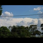
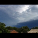
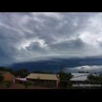
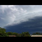
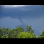
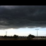
Storm Chase 10th March, 2005I wasn't really expecting stuff to be around Brisbane today. AVN had a nice cold pool of -12/-13 coming up the coast over NE NSW and inland N NSW right up to Central S Qld. For once, AVN under estimated this and Moree sounding had a very nice -14 @ 500, which had cooled off 4 degrees since the 1100z run the night before. The instability over SE Qld was along the SW Downs and then in NE NSW which was pushing -3/-4 LI's. SE Qld was under -1 LI's. Today started off with accas early in the morning and it didn't take long before the first towers went up just after 10. Things were quite dry looking though and most of the towers that went up didn't last too long. There was some strong storms in the Northern Rivers though just after lunch and some of these propegated northwards along the ranges. There was a very nice looking storm off near Rathdowney by 2:30pm This weakened quite considerably and I didn't really expect much more to happen with such low dp's (12 in Archerfield and 7 at one stage in the cbd) however just after 3:30 I looked to the south again and there was a very nice shelfy developing so I setup my camera to the south and took a few pics of it By 3:50, the storm had began to weaken quite a bit however it had some awesome banding on the NE side of it. And it wasn't long after this that the outflow winds hit, they were cold and were gusting to 30kn at times. The storm became outflow dominant quite quickly after this and became almost stationary. It delivered a few nice cg's/crawlers but died off completely just after 4:30. More pictures can be found here.
|
| Last Updated on Monday, 30 March 2009 23:21 |
