| 21st March 2005 |
 |
 |
 |
| Written by Mike Manning |
| Sunday, 29 March 2009 20:07 |
|
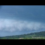
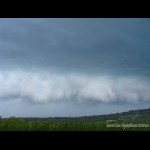
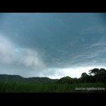
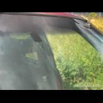
Quite an interesting day this one today with the upper trough and a weak surface trough pushing through the Wide Bay/Burnett areas combined with nice mid/upper level shear which produced some very strong storms over the Gympie area during the afternoon. The morning showed very unstable mid levels to the west of Caloundra and it wasn't long before the first cell went up just east of Oakey and tracked ENE before intensifying very rapidly and heading NNE to become our chase cell of the day. We headed north along the Bruce Highway towards Gympie and intercepted it near Eumundi. It had some very nice greenage and a nice gust front/rfb setup on it as well. Some small hail began falling ahead of the storm before the heavy rainfall hit so we drove south a bit just incase there was a chance of large hail. After waiting for a while for the heavy rain to subside, we continued north along the Bruce Highway and intercepted the storms main core which was producing lots of small hail around the 1-2cm mark. It was fairly soft and disintegrated upon impact when it hit the windscreen. Anthony reported his windscreen got damaged from the storm too and we were worried it might have been from larger hail but it turned out to be from a considerable sized branch which fell from a tree from the strong outflow winds. Not really many pics were taken during this day, it was mostly footage and most of the time was spent driving due to the fact the speed they were travelling at. It would of been nice to have tracked the massive storm through Tewantin this afternoon and follow it out to the coast because I'm sure it would of produced some fairly decent sized hail. More pictures can be found here.
|
| Last Updated on Monday, 30 March 2009 23:24 |


